
Laser Scanning & Land Surveying

Overview
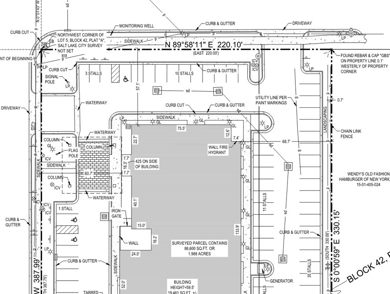
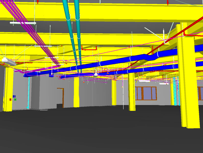
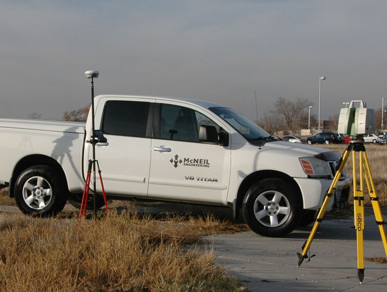
We specialize in conventional surveying services, such as ALTA/NSPS Land Title Surveys, Boundary and Topographic Surveys. In addition to conventional survey services McNeil Engineering is a leader in Laser Scanning. This relatively new technology automatically captures up to 50,000 survey points per second – light years ahead of conventional surveying methods. Additionally, once processed, the scan data can be directly embedded in design documents such as AutoCAD drawings. Laser Scanning provides much more detail, more accurately, more quickly and more economically than any conventional surveying method. Let us tell you about how we can make it work for you.
Survey Related Services:
- ALTA/NSPS Land Title Surveys
- Topographic/ Utility Surveys
- Route and Boundary surveys
- Construction Staking
- GIS Data acquisition
- Cadastral and Retracement Surveys
- Subdivision Plat
- Condo Plat

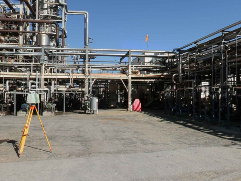
HDS Scanning
The McNeil Engineering High Definition Survey or HDS team are experts at data capture and registration. These are some of the industries McNeil has served:


